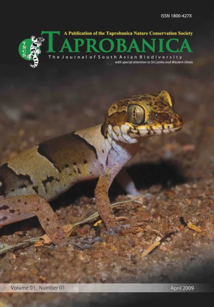

v1i1.1
Volume 1 | Number 1 | May 2009
Editorial
ISSN: 1800-427X (print)
eISSN: 1800-427X (online)
DOI:10.47605/tapro.v1i1.1
Published date: 06 April 2009
Pp. 1
EDITORIAL : An Introduction to TAPROBANICA
A. A. Thasun Amarasinghe
Editor-in-chief: Taprobanica, the journal of Asian Biodiversity
Greek astronomer Ptolemy compiled a map in the 2nd century labeled the Island “Taprobane”. Arab seafarers called it “Serendib”. From the 1400s, Europeans identified that island as “Seylan”, which was later anglicized to “Ceylon”. In the 1500s Portugal and Spain established their dominance in the maritime trade of South and Southeast Asia. In the 1600s the Dutch emerged as the dominant colonial power in the region, followed in the 1700s by the British, then Independence Island after 1948 “Sri Lanka”. The island is situated in the Indian Ocean, south west of the Indian peninsula, between 79o 39’ and 81o 53’ Eastern longitudes and 5o 54’ and 9o 52’ Northern latitudes, and has a total land area of 65,610 km2. “Taprobane” was a historical name for Sri Lanka and we use the name “Taprobanica” for our society as well as for our journal. Taprobanica Nature Conservation Society (TNCS) is an independent, non-governmental, nonprofit oriented voluntary organization dedicated to promote research, public awareness and nature conservation and it was established in 2007.
- List of Articles & Contents


